
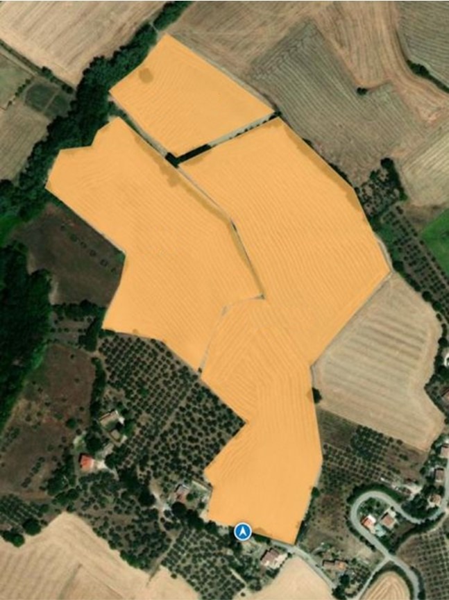
 Managing more than 500 farms throughout Italy is a complicated and delicate operation. In order to do so we have adopted a highly advanced GPS mapping system which allows us to have an accurate picture of the entire supply chain.
Here’s how it works: during the preliminary inspection we record the characteristics of the field through an app that measures its exact dimensions and location. Two months are tipically spent by our team for visiting all of the farms and catalog every single plot, travelling from Piedmont to Apulia regions.
Then the software compiles a complete and detailed map of all of the areas that will grow our raw materials.
Connecting the map to the client files (updated with the data from the official agricultural registry) we are thus able to keep track of all of the activities in real time, monitoring the progress of the sowing, threshing, and harvesting while getting involved where necessary in order to ensure that our qualitative standards always remain at the highest level.